 |
|||
|
|
|||
| ||||||||||
|
|  MIL-D-89009
APPENDIX
30.3.17
Vegetation coverage
a. Vegetation coverage. This coverage contains vegetation
data that were vectorized from Advanced Very High
Resolution Radiometer (AVHRR) raster satellite imagery
information, and are stored in an area feature table.
The area feature table implements the TYPE attribute to
describe the vegetation area information. The values
for VGPYTYPE are based on Level II categories of the
USGS Land Use and Land Cover Classification System
(Anderson et.al., 1976). Attribute values are as
described in the integer value description table
(TABLE 128).
b. VGAREA.AFT attribute definitions. TABLE 129 describes
the vegetation area feature table (VGAREA.AFT)
attribution.
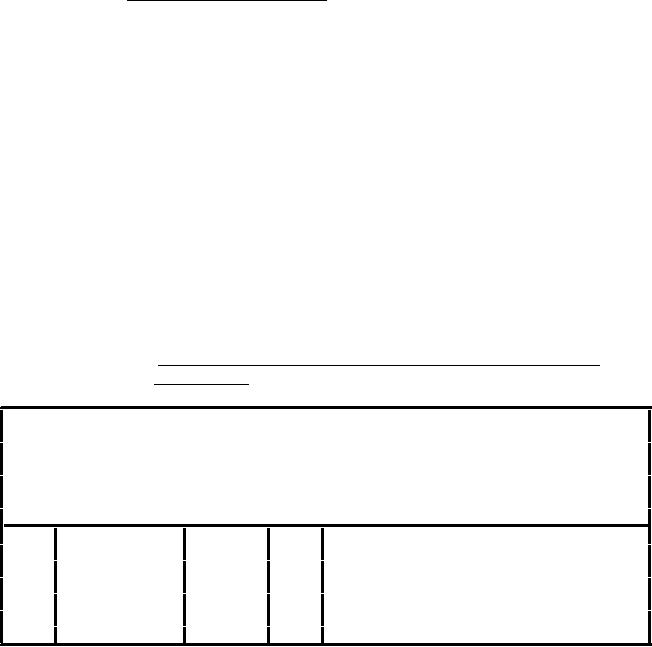
TABLE 128.
Vegetation integer value description table
(INT.VDT).
{Header length};\
Vegetation Integer Value Description Table;-;\
ID=
I, 1,N,Row Identifier,-,-,:\
TABLE=
T,12,P,Name of Feature Table,-,-,:\
ATTRIBUTE= T,16,P,Attribute Name,-,-,:\
VALUE=
I, 1,P,Attribute Value,-,-,:\
DESCRIPTION=T,50,N,Attribute Value Description,-,-,:;
1
VGAREA.AFT
VGPYTYPE 31
Herbaceous Rangeland
2
VGAREA.AFT
VGPYTYPE 32
Shrub and Brush Rangeland
3
VGAREA.AFT
VGPYTYPE 33
Mixed Rangeland
4
VGAREA.AFT
VGPYTYPE 41
Deciduous Forest
5
VGAREA.AFT
VGPYTYPE 42
Coniferous Forest
6
VGAREA.AFT
VGPYTYPE 43
Mixed Forest
7
VGAREA.AFT
VGPYTYPE 83
Alpine Tundra
165
|
|
Privacy Statement - Press Release - Copyright Information. - Contact Us |
